
Quick Summary
- Explore 12 free Google Map alternatives that provide accurate navigation and unique features.
- Mapbox offers customizable maps and real-time data for developers and automakers.
- HERE WeGo and Apple Maps enhance user experience with offline capabilities and immersive views.
- Waze and Sygic deliver real-time traffic updates and route optimization, ensuring efficient travel.
Explore our best picks for 12 free Google map alternatives that offer accurate and secure location and navigational solutions.
When we think of digital maps, we only think of Google Apps. Don’t we? Well, that’s the powerful brand recall. Many people are simply tired of using these maps because there are episodes of occasional data inaccuracies or outdated information in certain regions.
Are you too past using these Google maps? If so, here we bring you the 12 best Google Maps alternatives, each bringing unique functionality and features to the table. Oh! and that too without forgoing safety and precision.
12 Best Google Map Alternatives (More Accurate & Safe)
1. Mapbox

Mapbox is a highly preferred mapping platform, known for offering customisable maps. It’s a developer-centric mapping platform that specializes in offering AI-powered locational technology, customizable maps, and location services through APIs. It empowers automakers, mobile app developers, and logistics services needing to craft unique maps for diverse applications.
This app lets automakers enjoy high-level adaptability and access to real-time data embedded with top-notch geospatial analysis. It comes with a suite of intuitive tools that facilitate seamless integration of dynamic maps into desired websites and apps required for navigation and location-based services.
What do users like about Mapbox?
- Ease of handling custom data at large volumes.
- Its dynamic rendering capabilities
- Its powerful map controls.
2. Here WeGo Maps

HERE WeGo is a free navigation app suitable for local guides or tourists on an expedition. The app has a fresh, navigational, and user-friendly interface that makes the journey to and fro quite effortless.
Best part? It offers clear turn-by-turn voice guidance to ensure effortless driving and commuting. The app even helps find the parking destination — handy when traversing new spots.
Also, it helps save spots and routes in a collection — helpful for users who visit the same place over and over again. Also, it guides users on shortcuts to get to the destination in a less TAT. This alternative app for Google Maps makes it easy to add waypoints when an itinerary requires extra stops and halts in between.
The app works equally well even if there is a loss of internet connection. You can easily download maps of any region, country, and even continent — and easily complete the journey (even if the internet connection doesn’t restore).
3. Apple Maps

Apple Maps is the company’s native mapping application for iOS devices, providing location-based services, map data, and navigation. With the goal of delivering precise and user-friendly navigation experiences, it offers 2D and 3D maps, turn-by-turn navigation, and transit information.
With improved detail, real-time updates, and features like “Look Around” that provide immersive street-level views, Apple Maps has gotten better over time. Accessibility is increased even further by integration with Apple devices and Siri.
4. MapQuest

MapQuest is one of the most popular GPS navigation apps, which is accessible as a web app and a mobile app. To keep commuters informed, it offers seamless integration to traffic and road condition cameras into their maps and directions. And is known to offer updated real-time traffic data. With this app, users are able to recognise and take advantage of an alternate route, all thanks to real-time traffic alerts.
This is for sure one of the greatest navigation apps available for iOS and Android, which lets users mark their favourite spots with personalised icons. In addition, the app provides a speed limit display and on-demand roadside assistance.
Top Features of MapQuest
- Offers integrated traffic information and multi-segment routing.
- Offers precise route optimisation to help save costs, time, and petrol.
- Ability to assist in avoiding all motorways and toll roads.
- Using a speedometer, it can help compare your current speed to the set limit.
- Gives options to create routes starting from another place than your current location.
5. OpenLayers

OpenLayers is a developer-centric, open-source JavaScript library that lets developers incorporate modifiable maps into online locational and navigational apps. In addition, it supports raster and vector map formats to offer a wide range of geospatial functionalities.
OpenLayers is turning up as a popular tool with rich feature sets and flexibility functionality that enables developers to build dynamic, interactive maps. It helps develop maps with layers, overlays, and markers just to improve user experiences while accessing immersive mapping applications.
6. TomTom Go

For a seamless driving experience, TomTom Go is an easy-to-use navigation app that provides real-time updates on precise live traffic and speed camera alerts. With its snappy touchscreen and potent processor, its distraction-reducing screen guarantees unmatched speed and frees you up to concentrate on driving necessities.
Additionally, the ability to download offline maps with weekly updates enhances the traveller experience, even in places with no connectivity. The app offers a free trial for users who are new to it and is available via subscription.
Top Features of TomTom:
- An effective mapping system with red light and speed warnings and an audio warning is provided by TomTom Go.
- Important information like speed limits and traffic camera alerts is provided by its navigation assistance.
- Travellers can share their ETAs with others.
7. Distancematrix

Distancematrix.ai as a free API map alternative offers fast and accurate APIs to help calculate travel distances and times between multiple points. It’s very important for navigation, logistics, and route optimization. Moreover, it offers advanced tools for businesses, feasible to compute travel metrics efficiently. Also, it’s very useful in planning and optimizing various transportation-related tasks.
8. OpenStreet Maps

There is a collaborative mapping project called OpenStreetMap (OSM) that offers freely editable maps made by volunteers all over the world. It emphasises community-driven updates and contributions and provides open-source map data. OSM’s data, which provides precise geographic information such as roads, landmarks, and points of interest, is used in many different applications.
OpenStreetMap is well-known for being flexible and accessible, enabling users and developers to access and contribute to precise, ever-updating map data.
9. Waze

Waze offers up-to-date information on accidents, police presence, traffic alerts, and road conditions for both known and unknown routes. If there is any traffic ahead, one of the greatest navigation apps for iOS and Android allows users to reroute. greatly aids users in saving time while driving.
Key Features of Waze Navigation App!
- ETA for accurate arrival based on traffic with the Waze Navigation App.
- Route adjustments in real-time to prevent delays.
- You can access music, podcasts, and other entertainment content within the app
- It assists in determining the route’s cheapest petrol price.
- Provides the best Android compatibility and is simple to operate on a car dashboard.
- Options for selecting different voice-guided navigation systems while driving, providing more individualised support.
10. Sygic

Sygic is a well-known GPS navigation app that provides turn-by-turn directions, offline maps, and real-time traffic information globally. It is well-known for having a wide range of features, such as offline search, voice-guided navigation, and traffic avoidance. In addition to offering speed limit alerts and a variety of add-ons like dashcam functionality, Sygic integrates with car connectivity systems effortlessly. It ensures dependable and practical navigation experiences by accommodating both drivers and pedestrians.
11. CityMapper

Citymapper is another popular urban navigation app known for offering detailed information around:
- Best or alternative routes, schedules
- Public transit
- Transport modes
- Updated estimated time of arrival (ETA)
It lets users cover multiple cities globally. With its user-friendly interface, commuters are able to navigate cities efficiently without any lag. It helps plan and execute any itinerary, incorporating walking, cycling, and public transit options.
12. Petal Maps

Petal Maps is Huawei’s mapping service known for delivering accurate navigation and location-based solutions globally. Users trust this free map alternative as it offers intelligent route recommendations while prioritising security and accuracy. Plus, it offers detailed 2D/3D maps and a comprehensive list of points of interest with real-time updates. It stands out in the competition as this mapping platform offers a navigational UI and a seamless user experience.
Top Features of Petal Maps
- Helps you report road issues with ease, making commuting easy for other travelers.
- Provides nearby services like hotels, food, drinks, call rides, gas stations, etc.
- You get to experience an immersive video map that offers locational content from places all over the map.
- Offers full-screen lane-level guidance with real-time traffic monitoring.
The above were the best Google maps alternatives that you can trust and start using them whether you are a traveller, fleet manager or a developer.
Final Thoughts on 12 Free Google Map Alternatives!
Map apps are the lifeblood for locational app providers looking to provide secure and precise navigational and routing experiences. They help enjoy immersive digital maps and other route planning aspects. Whether you are a traveller traversing new terrains or a fleet manager planning the best delivery routes, these 12 best Google map alternatives are the best picks offering distinct functionality and features.
All the above apps are known to subside the challenges Google Maps are posed with. They take care of your travel time, help you avoid long detours, and reduce ETAs — while letting you cut back on fuel costs.
When you have a robust fleet system to manage, these apps won’t be enough. You need route planning solutions. Let’s connect over a quick demo over a cup of coffee!
Avoid Costly Delays, Boost Profits
Don’t let poor route planning hold you back—optimise routes with TrackoBit
FAQs on Google Maps Alternative Apps
-
When to go for Google maps alternative apps?
It is best to consider a Google maps alternative when you need more specific features, enhanced offline functionality, or simply want to explore more options for navigation and mapping apps.
-
Which are the best alternatives to Google Maps API?
OpenStreetMap, Mapbox, and HERE are some free API map alternatives offering diverse features and customisations.

Nandita is the Team Lead for Content Marketing at TrackoBit, bringing over a decade of experience in B2B, B2C, and IoT sectors. She has a proven track record of helping Read More
Related Blog
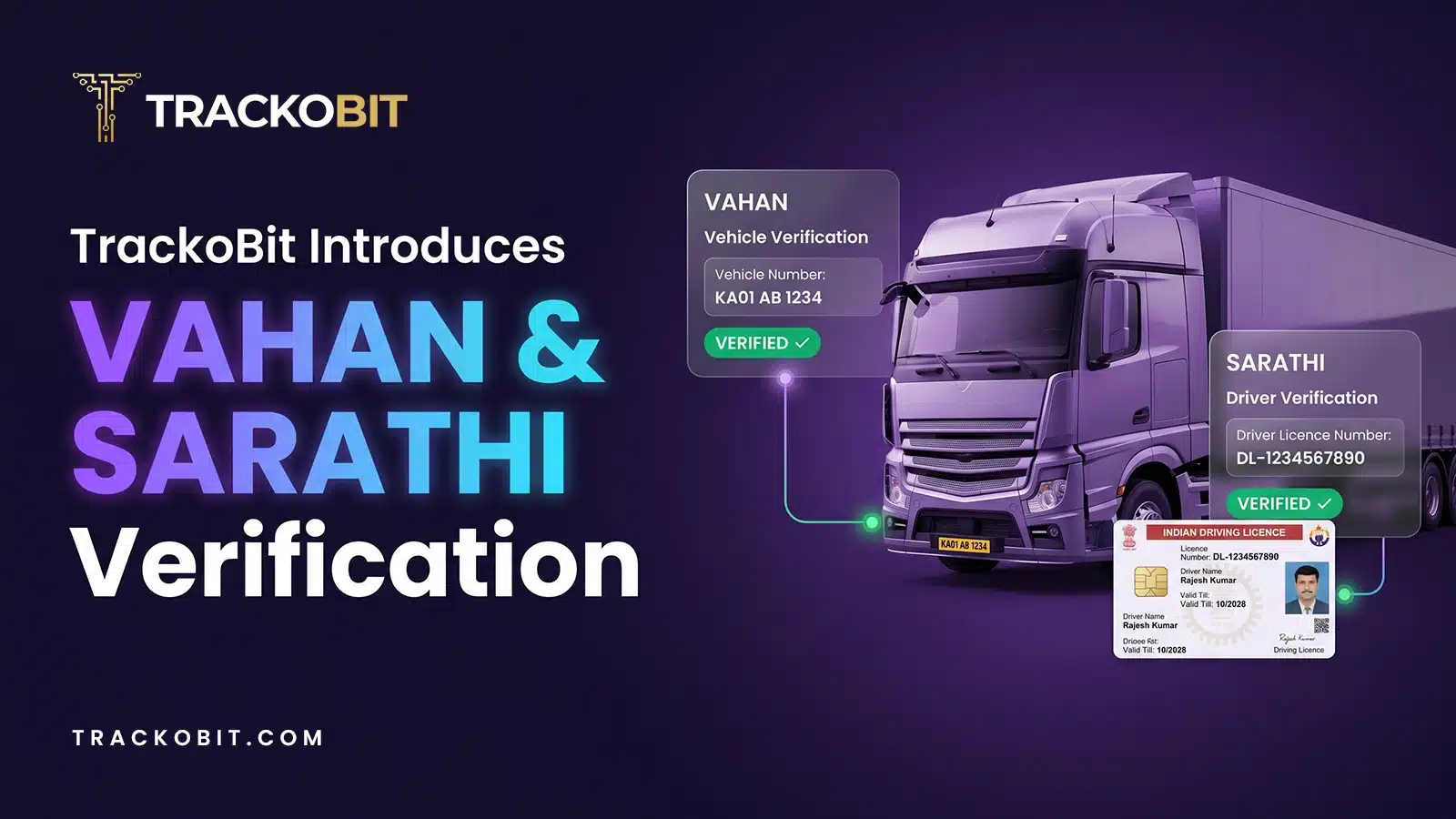
TrackoBit Integrates with VAHAN & SARATHI for Vehicle & Driver Verification
TrackoBit launches VAHAN and SARATHI verification. This is to help fleets build compliant operations with government-verified records.
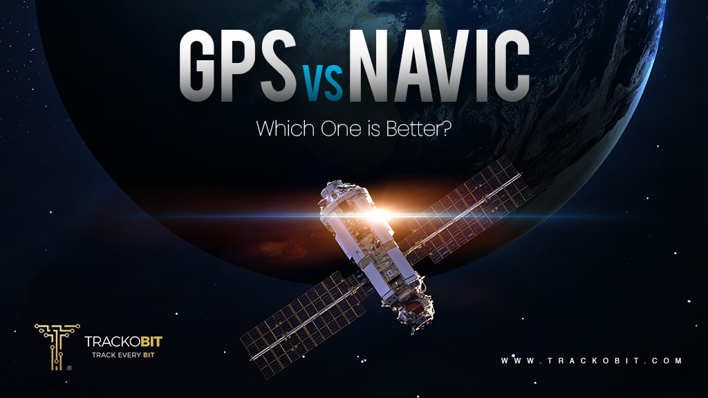
GPS vs NavIC: Global Reach vs. Regional Precision
Want to know what’s better, GPS or NavIC? This piece of writing will surely give you clarity on all the…
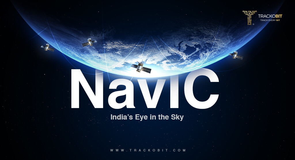
What is NavIC- India’s Homegrown GNSS System
Have you heard of NavIC – YES India’s very own GPS tracking system! This piece of writing is all about…

Food Delivery Trends to Watch in 2026 & Beyond
Food and technology are both revolving along with consumer demands. Here are some of the food delivery trends to watch…

Your inbox awaits a welcome email. Stay tuned for the latest blog updates & expert insights.
"While you're here, dive into some more reads or grab quick bites from our social platforms!"Stay Updated on tech, telematics and mobility. Don't miss out on the latest in the industry.