Quick Summary
- MapMyIndia, OpenStreetMap, and Google Maps Comparison highlights the unique strengths of each mapping service, focusing on design, tools, and cost.
- Google Maps excels in global coverage and real-time updates, while MapMyIndia offers precise local details for India, and OpenStreetMap provides a customizable, community-driven alternative.
- Factors to consider when choosing a mapping API include coverage, accuracy, features, cost, and integration with fleet management software.
- Ultimately, selecting the right mapping service depends on business needs, with MapMyIndia being ideal for Indian operations, while Google Maps and OpenStreetMap serve broader applications.
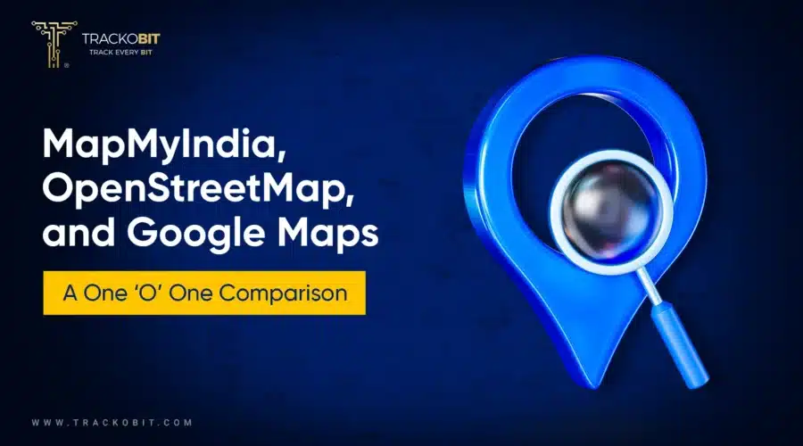
MapMyIndia, OpenStreetMap, and Google Maps help find vehicles. Let’s explore which one is best amongst them based on factors like design, tools & cost.
Maps aren’t just getting from point A to B anymore. They power businesses, fuel navigation apps & shape real-world decisions. With multiple mapping platforms available, choosing the right fit for your business can be a task.
Where Google Maps leads with extensive data and AI insights. MapMyIndia excels in India with precise local details. OpenStreetMap offers a community-driven, open-source alternative for collaborative mapping. In short, each serves quite uniquely.
So, which one truly delivers in 2026? This breakdown dives into their strengths, weaknesses, and ideal use cases to help you find the perfect fit.
Google Maps vs. OpenStreetMap vs. MapMyIndia
When choosing a fleet management software provider, make sure to answer these two key questions:
- Which map API is already pre-integrated?
- Are they flexible enough to integrate with your preferred map API?
In either case, it is crucial to have clarity on the geo-location service that aligns best with your business’s operational needs.
To make an informed choice, let’s first explore each mapping service individually before comparing their strengths & limitations.
1. Google Maps

Google Maps
It’s renowned for its accuracy, real-time traffic updates, and vast global coverage. Google Maps is ideal for organizations with diverse fleets operating across urban & rural areas. It also supports multi-stop routes, allowing up to 25 stops per trip.
It offers advanced features like satellite views, street-level imagery, & APIs. This helps in distance calculation, route optimization & live tracking.
Key Features of Google Maps-
- Satellite Views: Offers a bird’s eye view. Further making planning easier for areas with complex geography.
- Street-Level Imagery: Facilitates precise navigation & real-world visualization.
- Real-time Traffic Updates: Google Maps helps optimize routes by rerouting across congested areas
2. MapMyIndia
Up next is MapMyIndia. It is known for its precise mapping. It is specially tailored for the Indian subcontinent.
It excels in providing hyperlocal details, including village-level mapping & accurate addresses.
The services of MapMyIndia excel in providing hyperlocal details. This includes village-level mapping & accurate addresses.
Its services are well-suited for businesses operating extensively in India.
MapMyIndia offers features like toll cost estimation, 3D maps, & indoor mapping.
Key features of MapMyIndia
– Village- Level Mapping –
MapMyIndia covers even the most remote areas. Further ensuring no locations are left out.
-Accurate Address Identification-
The brand provides pinpoint accuracy for deliveries & logistics.
-Toll Cost Estimation-
It enables cost-effective trip planning by calculating toll charges along routes.
-3D Maps-
Enhances visualization & aids in better decision-making.
-Indoor Mapping –
Useful for navigating large facilities like malls, airports, and warehouses.
3. OpenStreetMap (OSM)
")
OpenStreetMap (OSM)
Up next we have OpenStreetMap (OSM). It’s a collaborative & open-source mapping platform. OSM is highly customizable & cost-effective.
OpenStreetMap (OSM) excels in offering comprehensive geographic data. It provides flexible customization and operates on a community-driven model. This model ensures that information is regularly updated. Further making OSM an excellent choice for organizations seeking adaptable and detailed mapping solutions.
Particularly in regions where mainstream maps might lack detail, OSM stands out. Its open-source nature allows for extensive community contributions, resulting in rich and varied mapping data. This makes it especially beneficial for applications requiring precise local information or specific geographic features.
📌Factors to Consider When Choosing a Mapping API:
By integrating these options & evaluating them based on your business requirements, you can ensure smooth operations, better fleet efficiency, and enhanced decision-making. |
Comparing Google Maps, OpenStreetMap & MapMyIndia
Here’s a simple comparison of these three popular maps based on how often they update, look, and cost.
1. Which One’s Map Data Updates Frequently?
Google Maps
Google Maps and MapMyIndia both follow a closed data course policy. Therefore, their changes are centralized and slightly slower.
Google Maps claims to update their slight map data every day with larger updates and features rolling in every few years. MapMyIndia, on the other hand, updates their maps every 6 months.
They claim to take help from over 750 surveyors who walk and drive every corner of the city to provide accurate and refreshed data twice a year.
Map data – The availability, sourcing, and update frequency of map data significantly impact the effectiveness of a map API. Ensuring access to accurate, regularly updated data is crucial when making your choice
OpenStreetMap
OpenStreetMap is the most easily and frequently updated map on the list. Mostly because it is a wiki-style map with an open data collection and distribution philosophy. So, anybody can add and edit locations – therefore, it is updated every minute of the day.
2. Which One Has a Better Interface?
The interface is a very subjective matter and the impact is defined through various aspects:
- Ease of use
- Navigation habits
- Features on dashboard
- Navigation through features
Google Maps
Google Maps takes the cake because of its monopoly-like distribution. Google Maps is the mandatory default navigation app on all Android devices.
Therefore, for most users, Google Maps is a comfortable interface to work with – something they’re used to and are comfortable with. Moreover, Google Maps’ interface is obviously in tune with other Google products – so its clean and no-clutter interface can be a major attraction.
MapMyIndia
MapMyIndia, on the other hand, works on a different kind of charm. It is not as clean as Google Maps, but it offers functionality at its best. Whenever using MapMyIndia, you’ll be able to see a couple of extra (useful) elements such as speed limit, direction, and junction zoom.
For the beginner at the navigation app, these features might seem like clutter. However, on a commercial level, these things make a huge impact because of how easily actionable data is visible to the drivers. Information such as speed limits right on the dashboard can help them stay on track.
OpenStreet Map
OpenStreet Map is not very different interface-wise from Google Maps. They use exclusive elements, but the functionalities are pretty similar. One additional thing OpenStreetMap offers drivers is the ability to edit and add stops on the go.
Read Blog – What are Thematics Maps? Their Benefits & Types
3. Comparative Analysis as Per Maps APIs
When it comes to features, specifically APIs, OpenStreetMap (OSM) might take a backseat, while MapMyIndia confidently takes the driver’s seat with Google Maps riding shotgun. Here’s a detailed look at what each platform offers:
Google Maps APIs
Google Maps stands out for its diverse range of APIs, enabling a host of mapping and navigation functionalities. Some of the most popular Google Maps APIs include:
- Maps API: Displays customized maps on applications.
- Street View API: Offers real-world imagery for better visualization.
- Directions API: Provides step-by-step route planning.
- Geocoding API: Converts addresses into geographic coordinates and vice versa.
- Geolocation API: Pinpoints users’ exact locations on the map.
- Places API: Delivers up-to-date information about nearby points of interest (POIs) such as fuel stations, restaurants, and hotels.
- Roads API: Maps paths, identifying speed limits and matched road segments.
- Time Zones API: Supplies time zone data for specific locations.
MapMyIndia APIs
MapMyIndia shines with its advanced features, suiting India’s geography. It goes beyond basic mapping functionalities. Some key APIs offered by MapMyIndia include:
- mGIS API: For advanced geographic information system (GIS) analysis.
- Route Optimization API: Ensures efficient route planning for fleets.
- Vehicle Routing Problem APIs: Optimizes routes for multiple vehicles.
- Traveled Route Image API: Provides visual representations of traveled paths.
- Distance Matrix API: Calculates distances and travel times between multiple locations.
- Snap to Road API: Matches user movement to the nearest road for better accuracy.
- Navigation API and SDK: Powers turn-by-turn navigation systems.
- Real-View API: Delivers real-world visualizations, similar to Google’s Street View.
- Workmate APIs: Optimizes workflows for operational efficiency.
Strengths: MapMyIndia isn’t just about route viewing and location tracking. Its GIS analysis features make it an excellent choice for businesses requiring deep insights into geographic data.
Best for: Businesses heavily operate in India, as it includes hyperlocal details, village-level mapping, and accurate address identification, unmatched by global platforms.
OpenStreetMap (OSM) APIs
OSM, as an open-source platform, operates differently. By default, it provides only two APIs:
- Edit API: Allows users to add and modify locations on the map.
- Overpass API: Enables lightning-fast search queries across the map.
Must Read– 10 Best Truck Routing Software of 2026
4. Which is Reasonable In Terms of Cost?
Google Maps
Google Maps operates on a freemium model, offering 28,500 free maploads per month. While this limit may suffice for casual users, it is minimal for fleet management purposes
Once you exceed the free limit, costs apply, but Google Maps’ pricing strategy can be complex. With 28 APIs and SDKs priced differently, the rates vary from $2 to $30 per 1,000 requests.
Beyond the $200 complimentary usage, the inconsistent pricing structure may cause confusion or frustration.
MapMyIndia
MapMyIndia offers a more straightforward pricing model. While casual users have access to a free plan, professional plans are tiered based on API call volumes:
- 10,000 API Calls Package: $302/month or $3,273/year
- 50,000 API Calls Package: $605/month or $6,526/year
MapMyIndia’s transparent and fixed pricing makes it a reliable choice for businesses.
OpenStreetMap
OpenStreetMap (OSM) is a completely free-of-cost mapping solution. If you can bypass third-party APIs, you can access all its features. From basic and advanced features —at no charge.
So, if you’re looking for a professional but cost-effective solution, especially for India, MapMyIndia should be your choice,
Summing Up
These three players reached the top for a reason—they offer strong benefits each in their own unique way. However, none of them is a one-stop solution for all fleet-centric businesses.
Some deciding factors could be – the features they offer, their affordability, and the map data control you need. You can also choose a map according to the interface that best suits you and your drivers.
So, when choosing the right fleet management software, ensure it comes pre-integrated with the best map APIs or offers seamless flexibility to integrate with your preferred one. TrackoBit does it effortlessly.

Anvesha is a communication specialist at TrackoBit. With a strong background in media and communications, she adds much-needed balance and brevity to TrackoBit’s... Read More
Related Blog

Grameen Credit Score and the Quiet Redesign of Rural Lending
Rural lending doesn’t usually go wrong at approval. It drifts when what’s happening on the ground stops being visible.
Is TrackoBit a Productivity-booster for All Fleet-dependent Businesses?
As long as your business needs vehicles to run any aspect of operations, you should use TrackoBit. It will help…

Your inbox awaits a welcome email. Stay tuned for the latest blog updates & expert insights.
"While you're here, dive into some more reads or grab quick bites from our social platforms!"Stay Updated on tech, telematics and mobility. Don't miss out on the latest in the industry.