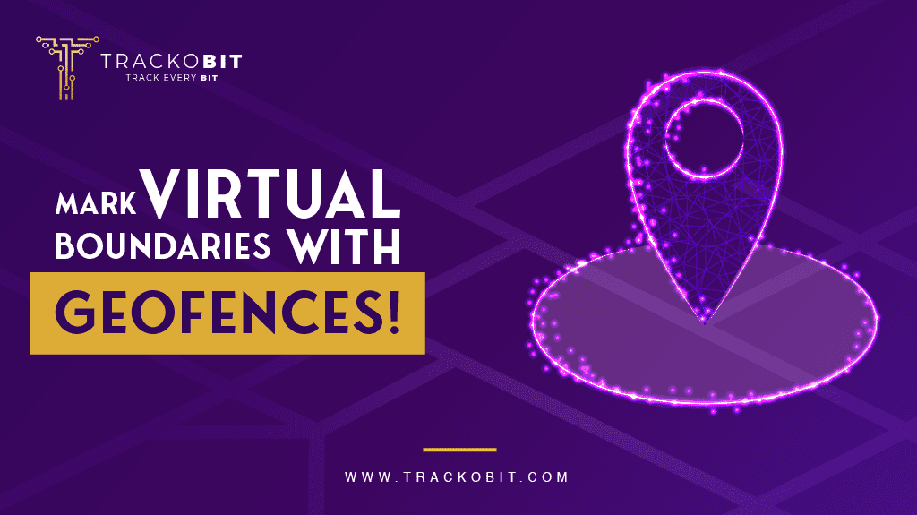
What are Geofences?
Geofences are virtual boundaries fleet managers can draw over a physical location through GPS tracking software. The purpose of geofences is to trigger an alert whenever specific devices move in and out of them. Therefore, they are fences that separate areas from one another and draw perimeters, but virtually.
How Can Geofences Be Used?
General use cases of geofences through fleet management software:
- Restricted areas: Set geofences for off-limit areas and get alerts whenever a vehicle enters them.
- Dynamic ETA: Multiple geofences along the way and their constant updates give managers a better idea of where vehicles are and how far they are from the destination.
- Automatic PODs: When the vehicle enters the destination geofence, managers can know the delivery has been made.
- Advanced Monitoring: If managers see drivers taking a specific deroute multiple times, they can set geofence there to get more insights about the movement in that site.
Read about: What Are Geofences in GPS Tracking Software?
How Can Different Industries Use Geofences?
Geofences help the following industries:
- Agriculture: Cattle tracking and advanced restricted areas
- Construction and Mining: Asset safety and remote updates
- FMCG: Dynamic trip updates and proof of pick up & delivery
- Medical and Healthcare: Restricted areas and accurate ETAs
- Public Transport: Distance control and stoppage planning
- Security Services: Mark hot areas and learn activity patterns there