Quick Summary
- Geofences are virtual boundaries set through GPS tracking software, enhancing fleet management by monitoring specific locations.
- They collect geospatial data and send alerts for vehicle movements, allowing for better supervision and asset security.
- Geofences can restrict vehicles to designated areas, preventing unauthorized movement and ensuring operational efficiency.
- Using geofencing in GPS tracking software improves fleet functions, driver behavior, and overall surveillance, making it an essential feature.
The purpose of your GPS tracking software is to keep real-time watch on your vehicles, right?
But what if your fleet operates in a huge area and you want insights only for specific locations? What if you’re too occupied to manually look for vehicle movement in your area of interest? Well, geofences are the answer!
Geofences have tremendous scope when it comes to fleet management. So, do you want to know more about what geofences are and what is so special about them? Find out in this blog!
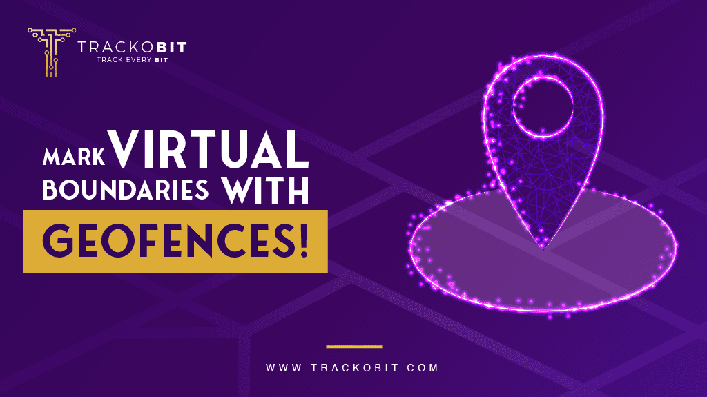
What Are Geofences?
Geofences are virtual perimeters and boundaries that you can set over a physical location through your GPS tracking software. They are fences that separate areas from one another, but virtually.
Geofences can be of any shape and size and are, obviously, not physically visible. You can set and see them through your GPS tracking software. The software will also help collect fleet movement data from inside geofences.
For any GPS tracking system, geofences accentuate its basic purpose to a higher level. Therefore, they’ve undoubtedly become the star features of most fleet management software.
What Makes Geofences So Special?
Comparing geofences with real fences to get an understanding of the concept is great. However, they are much more potent and useful than the physical boundaries we create between areas.
Here are some reasons why geofences are valued in GPS tracking:
- Geofences are not physically visible and obstructive
- They can be drawn in any shape and size and do not need any approvals
- Geofences collect the entry, exit, and other geospatial data for the specified area
- Software integration sends you alerts from in and around a geofence according to what you need
- You can get a complete historical report of movement within the area
Geofence Usecases
The number of use cases geofences can have is extraordinary. Since they are flexible, you can mold them in any way to get more use. So, in this section, let us explain how they serve several functions in your fleet.
Supervising Drivers
Have you been wondering if your drivers use your vehicles for personal use or take regular detours? Can you notice drivers going to specific locations out of the route? You can define a geofence on the suspected area and see who enters the place and how long they stay there.
In case you see any suspicious or disruptive patterns, you can bring that up with your drivers and get discipline back in your fleet.
Cattle Protection
On a farm, vehicles and cattle co-exist and hence, if vehicles are not restricted, they might either hurt the cattle or disturb their grazing.
With the help of geofences, you can define forbidden areas on a farm. These are the areas that the vehicles are not supposed to enter to avoid disruption. In case a vehicle does enter a restricted area, you will get notified and hence, you can immediately immobilize it.
Asset Security
Do you need your vehicles to work in a specific area? Is any exit going to incur you extra expenses or losses? You can set a geofence to restrict your vehicles to a certain area.
For rental vehicles, you can set the maximum area you allow the vehicle to go to. For a commercial fleet, you can set the site the vehicle is restricted to. This way, if a vehicle exits the safe operational area, you’ll get notified to take immediate action.
Trip Updates
You might need to get a package from a specific location already on a vehicle’s route. Or you might want to get trip updates without having to constantly look at the software.
To get such updates, you can set a geofence or two along the way. Therefore you will know when a vehicle enters a particular area. If you need the driver to do anything, this is when you can call and get the task done. Otherwise, you will at least get a notification-based trip update!
Vehicle Automation
Fully automated or Level 6 vehicles are still a goal for the telematics and automobile industries. However, Level 3 cars exist in harmony with geofences since they can drive themselves in ideal conditions. If these cars leave their drivable areas, they might be a threat to themselves and their surroundings.
You can define a geofence that restricts a car to a safe area. First of all, the vehicle will stay restricted within that boundary. However, even if it does leave the safe perimeter, you’ll receive an alarm. You can then immediately deploy the car for safety concerns.

Geofences Vs POIs
Only the best fleet management software like TrackoBit take geofences one step further with Points of Interest (POIs). When geofences have to be shorter and circular, they can be classified as POIs with one central location as the focal point.
Here are some ways how POIs and geofences differentiate:
- Geofences are free of shape and size restrictions. However, POIs are generally circular and have a fixed radius.
- Geofences are made with lat-long coordinates as the boundaries. POIs are, however, set with a singular focal point with about 100-10,000 meters of range.
Both geofences and POIs serve the same functions, however. They separate areas, send movement alerts, and collect historical data.
Mark Your Fleet’s Success With Geofences
Geofencing might seem like a small feature in the vast fleet management universe. However, its flexibility paired with historical data reports and alerts make it an unending source of use cases.
With the help of geofencing, you can improve your fleet functions, and driver behavior, and increase surveillance! So, why use GPS tracking software that doesn’t make proper use of geofences? Use TrackoBit now!

Ayushi Nagalia is a Senior Content Specialist at TrackoBit. She is a marketing maverick with a lush background in literature. With years of experience crafting content for various niches, she speciali... Read More
Related Blog
What Is Fleet Operations? How to Manage, Optimize, and Scale Your Fleet in 2026
Discover what is fleet operations? Learn about key components, fleet challenges, and which are the important KPIs to track.
Fleet Efficiency: 6 Proven Ways to Cut Costs & Boost Productivity in 2026
Learn what fleet efficiency is? How to calculate it, and ways to boost operational productivity. Because it reduces costs, delays,…
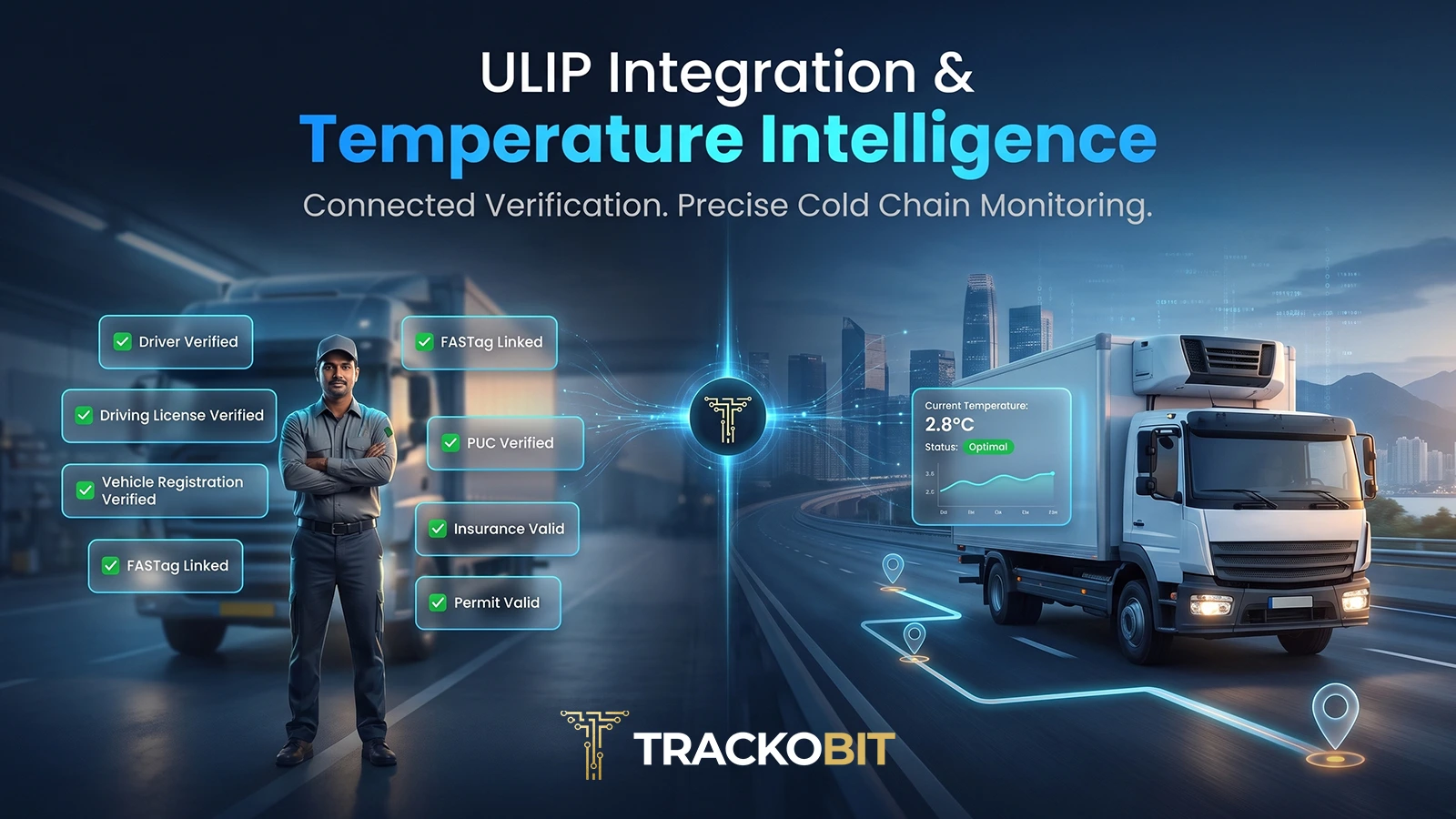
ULIP Integration & Temperature Vs Distance: Now Live in TrackoBit
Simplify fleet verification and cold chain monitoring with TrackoBit’s latest release. Align driver and vehicle records with national logistics infrastructure,…
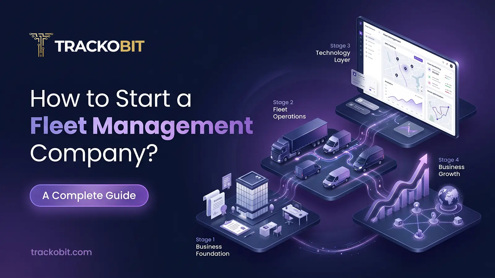
How to Start a Fleet Management Company: Step-by-Step Guide
Wondering how to start a fleet management company? You’re at the right space. We have covered 10 simple steps to…

Your inbox awaits a welcome email. Stay tuned for the latest blog updates & expert insights.
"While you're here, dive into some more reads or grab quick bites from our social platforms!"Stay Updated on tech, telematics and mobility. Don't miss out on the latest in the industry.